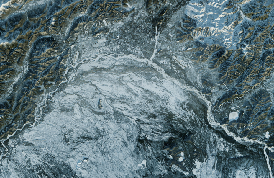
MDA is an international space missions partner and a pioneer in robotics, satellite systems and geointelligence with a 50-year history of firsts on and on Earth. Through its radar constellation (RADARSAT), it is possible to detect and monitor possible geo-threats in linear infrastructure projects such as oil pipelines.
-
HIGHLIGHTS
• Satellite Monitoring Solution using low-cost, cloud penetrating RADAR for detecting and monitoring EOR production balancing, and threats to pipeline integrity.
• Geohazard Detection Alerts delivered frequently to monitor known and unknown slope movements and subsidence along ROWs.
Establish a visual record of Baseline and Post-construction Reclamation & Environmental Conditions to support annual regulatory reporting.
Key Stats
| 140,000,000 km2 | 2 mm | 10 minutes | 500 km |
|---|---|---|---|
| The amount of surface of the Earth that has been photographed. | The level at which topographic changes can be detected. | The time it takes to process raw satellite data into usable information. | The widest range of images on the market |
RADARSAT CONSTELATION

Designed and built by MDA, this configuration consists of three satellites working together to collect data for the Government of Canada. The mission is focused on maritime surveillance, disaster management and ecosystem monitoring to protect our environment.
See More

